SIRESOL, SENGIA SBUSA
An interesting excursion, not to be missed, to the famous Sengia Sbusa rock formation, in the upper northeast of the Municipality of Negrar
Departure from Siresol along via Ca Berna cemented road at the beginning uphill that becomes dirt and you plead at high altitude (flanked by the vineyards) up to the junction for Ca Merli turn left and passing on the right of the houses we climb on partially cemented roads then dirt roads up to an altitude of 412 meters above sea level
which becomes dirt road always going up until you have reached a total distance from the Siresol departure of a 1,100 KM from here we take on our left a path that climbs rapidly for 350/400 meters the Sengia Sbusa
length about 1.5 km uphill elevation gain 166 meters. the return following the same downhill route. then 3 km in total.
I propose a map with its altimetric profile, a video and some photos to illustrate the route and therefore that can provide an idea of the places, landscapes, and peculiarities that you will find along this path.

Point of departure and arrival :
Siresol
GPS coordinates at N45 31 51.5 E10 58 15.9
alt 426 mt slm
Arrival
GPS coordinates in Sengia Sbusa altitude 587 mt
N45 32 13.9 E10 58 02.8
length km 1,5 difference in altitude uphill 166 mt
duration 1 hour
medium
Cartography Map of Valpolicella
Brief description of the route:
Departure from Siresol - Ca merli -Sengia Sbusa


Siresol Ca Berna
we go up via Ca Berna

Ca' Berna at high altitude among the vineyards


junction for Ca Merli on the right

Ca Merli

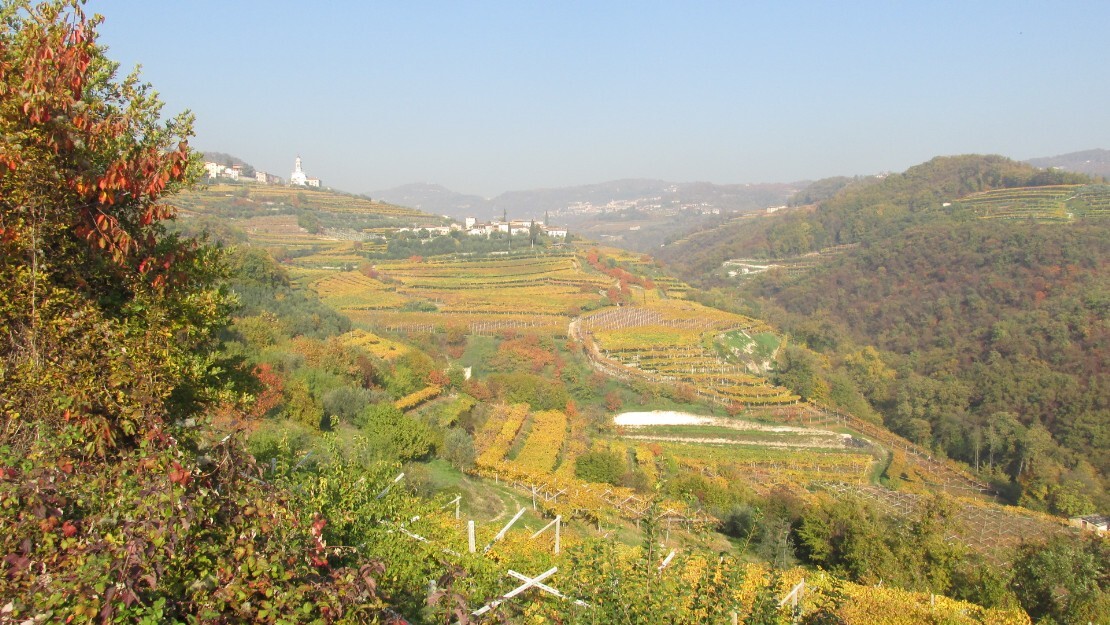
the Negrar valley seen from after Ca Merli
Ca Merli

Route section


uphill path towards Sengia Sbusa
uphill path towards Sengia Sbusa


Sengia Sbusa
Sengia Sbusa


Sengia Sbusa
sengia sbusa


sengia sbusa
Sengia Sbusa details


Sengia Sbusa details
sengia sbusa details La Maddonina

Fellow walkers, if possible, I would like to receive your suggestions and advice in order to improve the site.
Here is my e-mail address
info@walks.it

