
Calalba Moiago Fane Prun Mospigolo
Circular excursion of 8.5 km with an uphill difference in height of about 350 meters, develops in the heart of the Negrar Valley of Valpolicella with departure and arrival in Calalba
The route is mixed and very interesting you start along Via Moiago for 1 km and 950 meters paved road with zero traffic that offers a spectacular view of the entire upper part of the Negrar Valley (wide view you can see Torbe, Mospigolo, Prun, Forte Tesoro, Mazzano) when you arrive to cross the bridge (after 1km and 950 Mt) you can see Torbe, Mospigolo, Prun, Forte Tesoro, Mazzano) when you arrive to cross the bridge (after 1km and 950 Mt) you take the spectacular path that runs for 600 meters and follow the progno (below us on the left) very interesting to observe how the water over time formed the bed of the stream digging into the rock and modeling it you take the path
Leaving the prognosis see signs (orange trail signs) for Fane we do 900 meters on a cemented and dirt road steeply uphill for 900 mFrom here continue on asphalt to reach Prun after about 1 km here we observe the Lavatoio and Fontana, Villa Salvaterra, the Monument to the fallen, the Church of Prun and continuing we reach the Valle district (5,600 km from departure) here we enter on the road to Mospigoloeters to emerge in Via Albarin di Fane, from here to the left we begin to descend on a paved road in the direction of Prun we descend for 700 meters where at a curve and bridge we cross the Negrar prognosis that we had abandoned before starting the salita.la take the path
From here continue on asphalt to reach Prun after about 1 km here we observe the Lavatoio and Fontana, Villa Salvaterra, the Monument to the fallen, the Church of Prun and continuing we reach the Valle district (5,600 km from departure) here we enter on the road to Mospigolo
on dirt roads and paths in most and on asphalt peche runs along the homonymous vaio (to our Dx) and descends very steeply to Mospigolo (characteristic village with tower under renovation) from here we descend until we take us on the bridge that now crosses our progno of Negrar and resume the same path we did at the start (paved road) and that is Via Moiago towards Calalba for about 2 km then total km 8,5
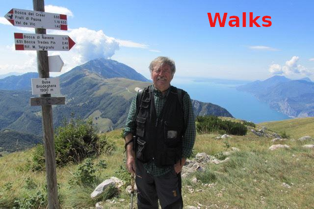
I propose a map with its altimetric profile, a video and some photos to illustrate the route and therefore that can provide an idea of the places, landscapes, and peculiarities that you will find along this path.

Point of departure and arrival : Calalba Negrar di Valpolicella
GPS coordinates 45°33'29.94"N 10°57'11.81"E
Length KM 8,5
difference in height uphill 340 mt
duration 2 hours 30' / 3 hours
Easy
Cartography Map of Valpolicella
Brief description of the route
Departure from Calalba beginning via Moiago which runs on paved road quiet traffic almost non-existent for about 2 km
up to the curve with bridge on the progno di Negrar take a path (orange trail marker) for 600 meters in length that runs alongside the stream, after a total of 2.6 km you climb for another 900 up to Via Albarin di Fane and then on the Fane-Prun road up to Prun Chiesa and Valle district (5.5km total) from where you descend on a steep cemented and dirt slope up to Mospigolo to rejoin the bridge on the left (the same as the outward journey) and then retrace the Via Moiago up to Calalba from where we started.


Via Moiago
Views from Via Moiago view of Torbe Moiago view of Torbe

Via Moiago in front of Mospigolo and left in the lower stream of Negrar


sentierino a dx del Progno di Negrar segnavia arancione 600 metri di bellezza naturalistica

Vaio e rocce modellate dall'acqua

sempre salendo e seguendo il segnavia arancione sino a giungere in Via Albarin
Progno di Negrar alla sx in basso

abbandoniamo il progno e iniziamo a salire in direzione di Via Albarin di Fane


scendiamo sino al Ponticello e curva
Ponticello sopra progno di Negrar da qui risaliamo fino a raggiungere Prun


Lavatoio e fontana a Prun
Villa Salvaterra a Prun


Monumento ai Caduti a Prun
Chiesa di Prun


Contrada Valle e discesa a Mospigolo
avvicinamento a Mospigolo


Mospigolo
Via Moiago inizio Calalba camminata

amici camminatori se possibile avrei piacere ricevere suggerimenti e consigli al fine di migliorare il sito.
ecco il mio recapito e-mail