
Canzago, Gnirega, Paverno
Circular excursion of 7 km with an uphill difference in height of about 320 meters, develops in the heart of the valley of Marano di Valpolicella starts from the Capitello intersection with via Novaia (see photo) we follow signs we go down on a paved road for 300 meters we cross the bridge over the progno and immediately climb on dirt road that becomes keeping to the right and following the signs at the intersections along the paths that pass alongside the numerous vineyards we reach first the winery Le Bignele (after 1 km from the start) then the winery Le Marognole and then always now on asphalt the district of Gnirega where we find the Cantina Clementi, the winery Gamba and the winery Terre di Gnirega (after 2km from the start) here we turn right passing through the houses we take the agricultural road that leads us first north and then south to Paverno we pass by Cantina Corte Archi and then to the Paverno Restaurant (3.6 km from the start) and to the Campagnola winery in Agnella (former trattoria) we cross the SP34 and we walk along the dirt road flanked by a beautiful dry stone wall that we follow until we cross the cemented road that rises from the south from Pozzo we turn right and always climb on a cemented road until before a farmhouse on our left here we leave the cemented road to take a road to the right a narrow path lined with dry stone walls on the left side (some collapsed parts) (4.5 km from the start) and along paths alongside vineyards and views in a northerly direction we go towards Canzago (villa and church) Villa Rizzini and court and then continue on the SP34 road downhill to the Capitello, our starting point.e arrival time ..
total 7 km easy route
I propose a map with its altimetric profile, a video and some photos to illustrate the route and therefore that can provide an idea of the places, landscapes, and peculiarities that you will find along this path.

Punto di partenza e di arrivo : Capitello strada per Novaia coordinate GPS 45°32'59.54"N 10°55'9.35"ELunghezza KM 7dislivello in salita 320 mtdurata 2/3 ore con sosteFacileCartografia Cartina della ValpolicellaBreve descrizione del percorsosi parte dal Capitello incrocio con via Novaia si seguone le indicazioni per Gnirega e quindi si scende a Paverno per poi risalire passando in quota sopra Ravazzol until you reach the beautiful and interesting Canzago district with magnificent Villa Rizzini and then return to the starting point:total 7 km easy route


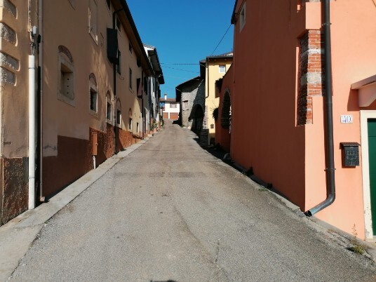
Votive shrine departure and arrival
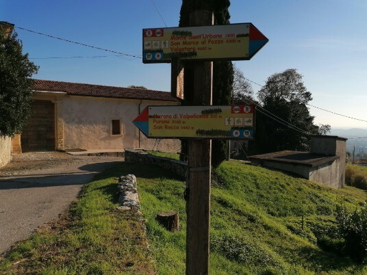
route markers towards Gnirega
Descent for 340 meters and after bridge over the progno
Turn right

discesa verso il progno


climb to the right alongside the progno

Views of Monte sant Ubano

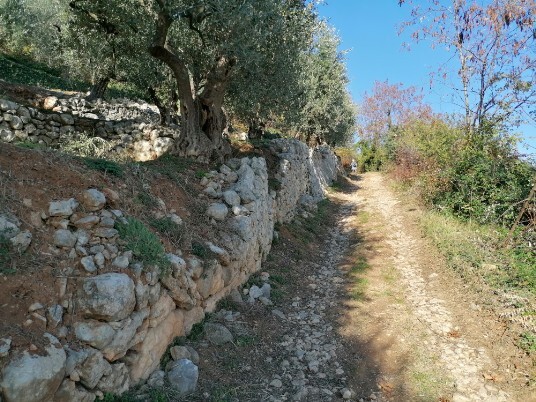
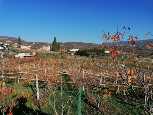
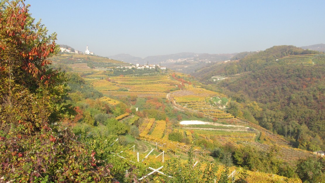
dry stone walls terraced vineyards
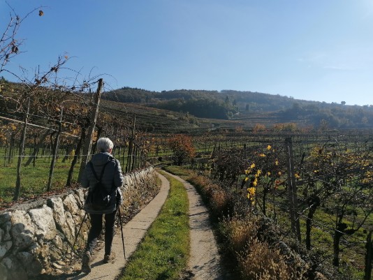
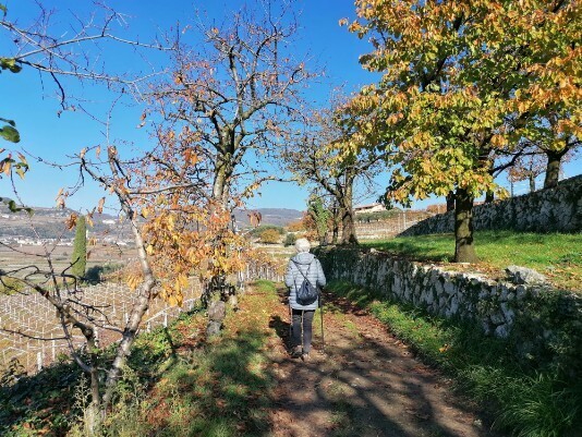
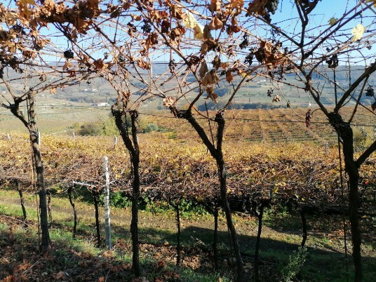
Paths lined with vineyards

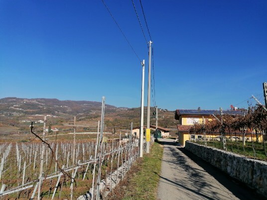
Agricultural roads
Towards Le Bignele
cellars area
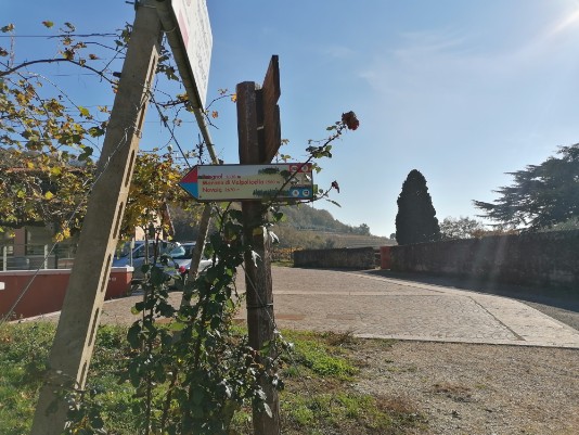
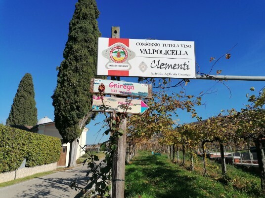
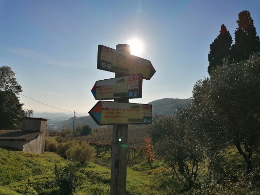
signs routes and winery area in Gnirega
signs routes and winery area in Gnirega
from Gnirega agricultural road towards Paverno
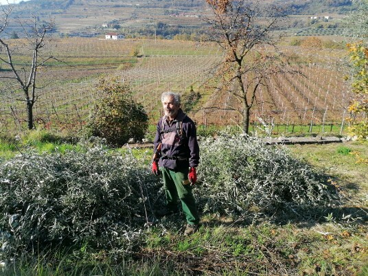
Gigi Aldrighetti at work takes care of olive trees
Terre di Gnirega
towards Paverno
on the way to Paverno
Corte Archi
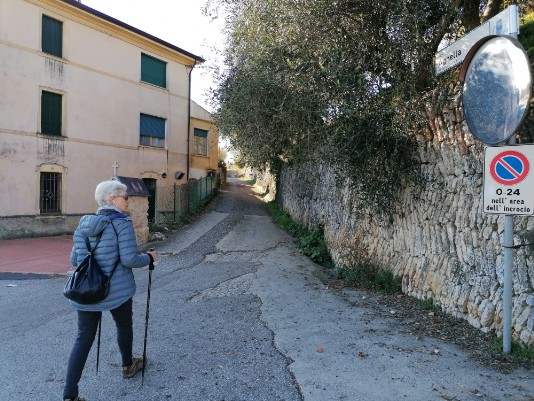
from Agnella narrow street with dry stone walls
from Agnella direction junction via well road with dry stone walls
Uphill right fork
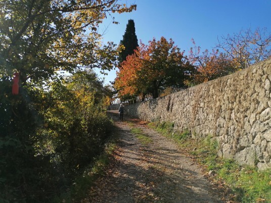
dry stone walls
Views
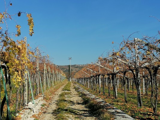
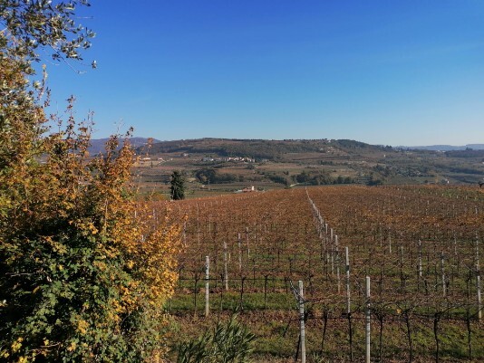
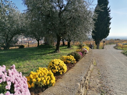
vineyards, colors, autumn
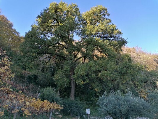
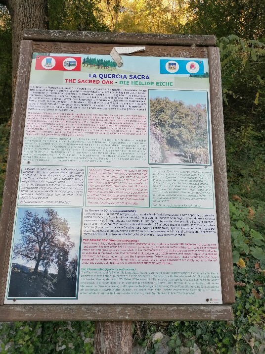
oak
explanatory sign
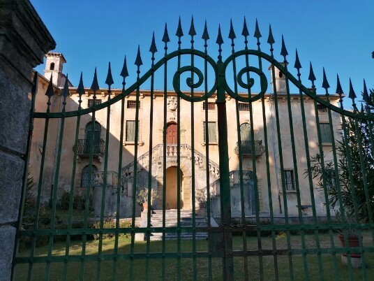
Canzago nearby
Canzago, a stop to do
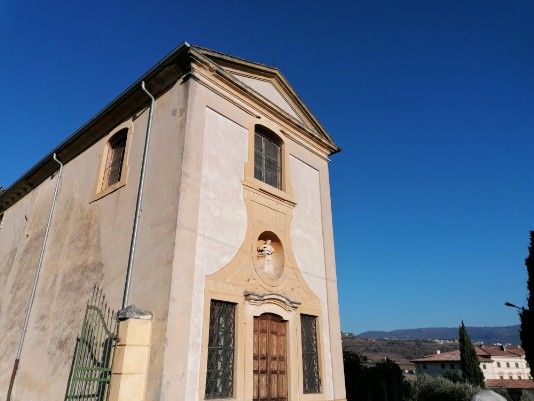
Canzago Chiesa
signage and the desire to discover, step by step
signage and the desire to discover, step by step
Images of the route
immagini del percorso
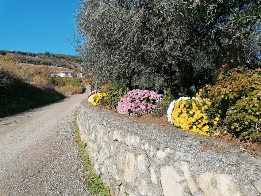
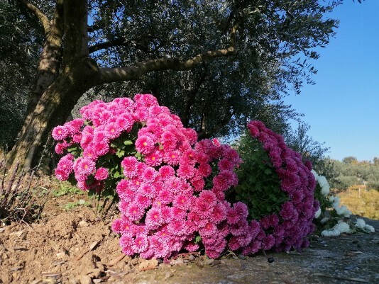
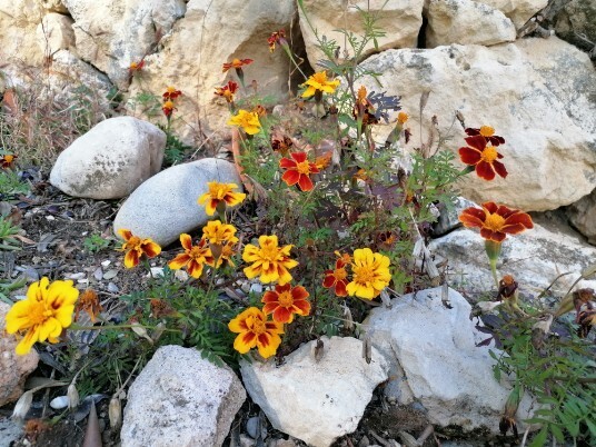
flowers
un video da Google Earth Pro Canzago movie
Fellow walkers, if possible, I would like to receive your suggestions and advice in order to improve the site.
Here is my e-mail address
info@walks.it