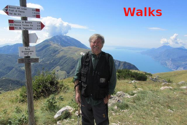

Cima Coni Zugna - Grande Guerra 15-18

Starting point : Rifugio Coni Zugna
GPS : 45.8079508, 11.0582966
Difference in height uphill 200 mt
Lenght km 6
duration 2 hours
Brief description
Coni Zugna path 115 CAI - Walking to know and not to forget - the Great War 1915 - 1918nel vaio di Valle Ossenigo