
Monte Chiesa Vecchia di Cavalo
A mixed circular route (dirt, path, asphalt) very suggestive in the west part of Valpolicella the part overlooking the Adige Valley starts from the Church of Monte and climbs for 500 meters on asphalt in Via Valle that flanks on our right the stream arrived at the curve that crosses the stream or rather ilprogno where there is a white marble cross implanted at the bottom of the ground we take the path that climbs quite steeply (CAI 238 white / red trail sign) in this the stream (progno) is on our left and then going up always we find it on our right below the path we follow allawe of the quarries with relative caves end of the climb then continuing on flat dirt road we arrive at the farmhouse ruin apparently closed the passage from a gate network but just open it was closed but free for walkers we enter a closed ground we climb up to find the exit with wooden gate and signs of the path that at this point starts to descend until we take us on the provincial road that we travel uphill up to the Old Church of Cavaloa magnificent place with a view of Lake Garda, after a pleasant stop with sandwich and apples comfortably seated, we resume the journey for the return to Monte we walk along the SP are at the deviation to the right for Calcarole a district just above Monte that we walk downhill up to Via Valle from where we had passed on the way and so here we are back at the parking lot in front of the Church of Monte .
I propose a map with its altimetric profile, a video and some photos to illustrate the route and therefore that can provide an idea of the places, landscapes, and peculiarities that you will find along this path.

Point of departure and arrival : Monte GPS coordinates 45°34'0.08"N 10°50'38.32"E
a length of about 6 km, with an uphill difference in height of 300 meters,
Departure from
Mount Sant'Ambrogio di Valpolicella
duration 2 hours 30' / 3 hours
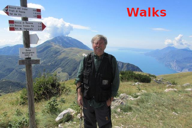
Hiking
Cartography Map of Valpolicella
Brief description of the route
A mixed circular route (dirt, path, asphalt) very suggestive in the west part of Valpolicella the part overlooking the Adige Valley starts from the Church of Monte and climbs for 500 meters on asphalt in Via Valle that flanks on our right the stream arrived at the curve that crosses the stream or rather ilprogno where there is a white marble cross implanted
at the bottom of the ground we take the path that climbs quite steeply (CAI 238 white / red trail sign) in this the stream (progno) is on our left and then going up always we find it on our right below the path we follow allawe of the quarries with relative caves end of the climb then continuing on flat dirt road we arrive at the farmhouse ruin apparently closed the passage from a gate network but just open it was closed but free for walkers we enter a closed ground we climb up to find the exit with wooden gate and signs of the path that at this point starts to descend until we take us on the provincial road that we travel uphill up to the Old Church of Cavaloa magnificent place with a view of Lake Garda, after a pleasant stop with sandwich and apples comfortably seated, we resume the journey for the return to Monte we walk along the SP are at the deviation to the right for Calcarole a district just above Monte that we walk downhill up to Via Valle from where we had passed on the way and so here we are back at the parking lot in front of the Church of Monte .


Via Valle that we follow for 500 uphill
Via Valle at the bend. White cross we enter the path

CAI 238 path that goes up with the progno on the left and then go instead on the left


there are now clear indications of how to reach Vecchia Chiesa di Cavalo

then towards the exit in large dirt spaces with Monte Pastello behind

Ruins of the farmhouse where at the gate grate we enter
We cross the prognosis and we are preparing to reach the abandoned quarries

We pass by the stone cross and immediately after the ruin


after entering the delimited area we leave a wooden gate with signs of the path to enter the downhill path that will lead us to the Old Church of Cavalo
and here we are near the Old Church of Cavalo


from here after a pleasant stop we resume the return journey along the provincial road downhill to Monte and meet some pleasant friends
Descending... the view of Monte


after the Calcarole district we go down
Church of Monte view downhill from Calcarole


until we reached Via Valle that we had traveled on the outward journey
Via Valle suggestive the progno and the vaio on our left deserves a look


at the end of Via Valle we reach the church of Monte
a summary photo of the route containing a small elevation profile
Fellow walkers, if possible, I would like to receive your suggestions and advice in order to improve the site.
Here is my e-mail address
info@walks.it