Montecchio di Negrar - Casotti
A simple walk on a very nice secondary road, which you can do even in uncertain weather,
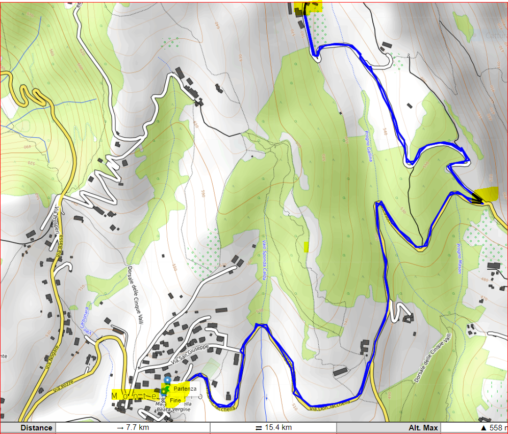
From the center of Montecchio take the provincial road towards Grezzana.
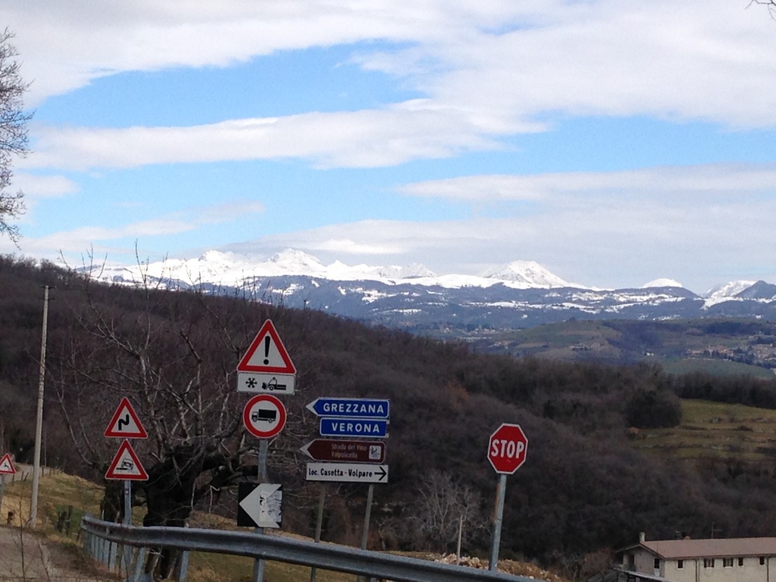
In Volpare keep left and go in the direction of Grezzana for 1 km and 200 meters and then follow the signs for Casetta and Casotti for 1.5 km.
Return, the same route. KM 7 total 150 mt difference in altitude


Point of departure and arrival : Montecchio di Negrar di Valpolicella parking
GPS 45.522051675847145, 10.981862297899315
difference in height uphill 150 mt
distance km 7
duration 2 hours
Brief description of the route
from Montecchio - Church where we leave the car we walk along the provincial road SP 34B towards Grezzana, this short stretch coincides with the European Path E5 up to Volparette (ruins houses) and continue north, towards Grezzana that we leave at the intersection with indication Casotti (left) that we reach vast spaces and meadows.
We return from the same route as the first leg.

