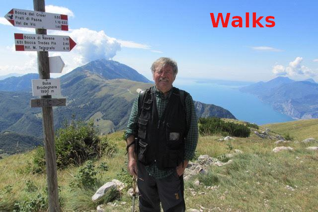

Parco Valpolicella, Fumane, Marano
A simple walk to discover the characteristic Valpolicella Park

Point of departure and arrival : Entrance Valpolicella Park GPS 45.5501032485065, 10.889972157178356
difference in height uphill 150 mt
km 5
duration 1/2 hours with stops
Easy
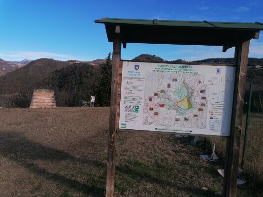
Cartography Map of Valpolicella
Brief description of the route
Departure from the park entrance. The route is mostly on dirt roads used in the past by the cement factory and mines follow the blue and red signs and the educational tables of the park.. stop at goodere of the beauty of the 2 lakes for the return follow the signs Santoccio and will take us to the point from where we started


Fellow walkers, if possible, I would like to receive your suggestions and advice in order to improve the site.
Here is my e-mail address
info@walks.it