Rifugio San Pietro Monte Calino
A beautiful excursion departing from the medieval village of Canale di Tenno.
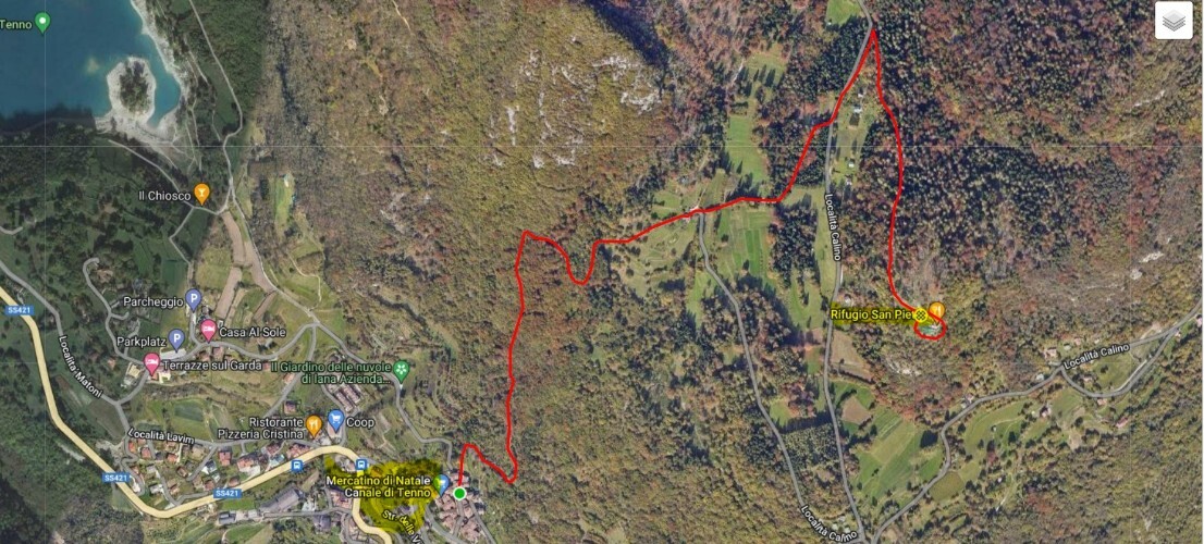
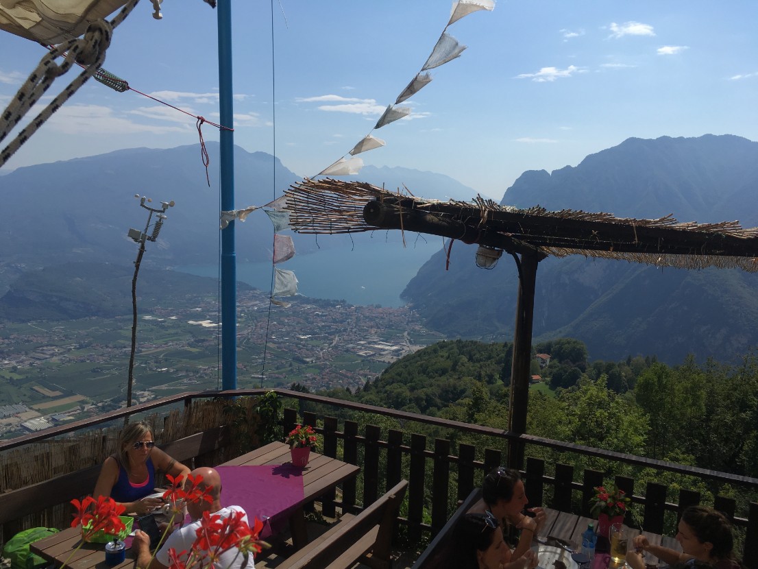
A tour through the narrow streets of this village and then we enter the CAI path 406 / B and then 406 that leads us to the Monte Calino San Pietro Refuge. We remain speechless to describe the views, the beautiful shelter and the management of the same.


Starting point : Canale di Tenno Medieval village
GPS : 45.929543, 10.8266319
Uphill difference in height 300 mt
Lenght km 5
duration 3 hours
Brief description
Departure from the medieval village of Canale di Tenno CAI trail sign 406 / B and 406 arrival at the Monte Calino San Pietro Refuge


