
Sanpietroincammino percorso 3 San Floriano
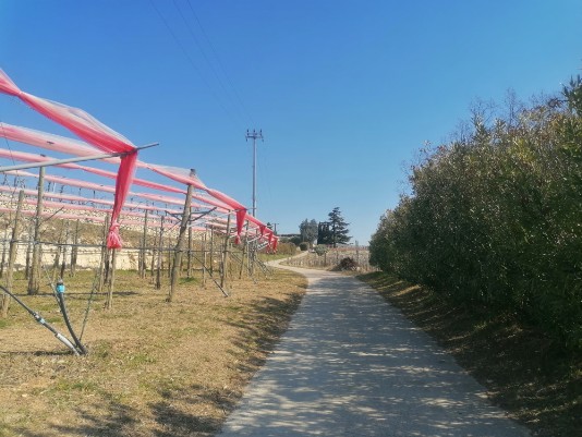
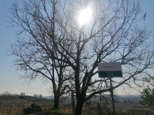
a pleasant walk Starting from the square with the fountain behind the apse of the Pieve, you pass near the cloister climb the ladder near the façade of the same and, crossing the provincial road, you walk through the parking lot, at the end of which turning left, you walk along a small road, first on asphalt, then on grass, which leads us to climb towards Monte Mattonara, .with an eye to the beautiful hills of the upper Valpolicella and the roundness of the Lessini Mountains. Once you reach the asphalt again, climb up to the crossroads, where you turn left, climbing towards the beautiful panoramic points of Monte Tenda among vineyards terraced by marogne (traditional dry stone walls) . Following the signs and then turning right you reach the highest point of our path where there is a capital dedicated to the Madonna, and from here you take the asphalt descent reaching the crossroads again. Going down from the first road on the left (via Paladon) you reach the provincial road that turning left you will follow for about 400 meters, first road on the left (via Paladon) you reach the provincial road that turning left you will follow for about 400 meters, up to a beautiful wash house, at which, taking to the right the road that leads uphill to the districts of Maregnago, Villa and Canova in the Municipality of Marano di Valpolicella, , you bring us back a few dozen meters higher and you have the opportunity to turn your gaze, in the descent towards Contrada Badin, in a south-west direction of Valpolicella. Arrived at the provincial road we cross it to enter the park adjacent to the beautiful villa Ottolini-Franco-Lebrecht and its magnificent park that from the end of the 800 was one of the most beautiful and well-kept in the province of Verona;.
And then we return to the Piazza della Fontana from where we started

Point of departure and arrival : San Floriano la Pieve Chiostro
GPS 45°31'3.43"N 10°54'27.09"E
GPX file download
difference in height uphill 180 mt
distance km 7,2
duration 2 h 30'
easy
Cartography : Tourist Map for Hikers - Hills of Verona - - scale 1:20000
CAI Committee of mountaineering groups in Verona
Brief description of the route
Starting from the square with the fountain behind the apse of the Pieve, you pass near the cloister, climb the ladder near the façade of the same and, crossing the provincial road, take the parking lot, at the end of which turning left, you take a small road, first on asphalt, then on grass, which leads us to climb towards Monte Mattonara Reached the asphalt again, climb up to the crossroads, where you turn left, going up towards the beautiful panoramic points of Monte Tenda among vineyards terraced by marogne (traditional dry stone walls). Following the signs and then turning right you reach the highest point of our path where there is a capital dedicated to the Madonna, and from here you take the asphalt descent reaching the crossroads again. Going down from the first street on the left (Paladon street)you reach the provincial road that turning left you will follow for about 400 meters, up to a beautiful wash house, at the height of which, taking the road that leads uphill to the districts of Maregnago, Villa and Canova in the Municipality of Marano di Valpolicella, you bring us back a few dozen meters higher and you have the opportunity to turn your gaze, in the descent towards Contrada Badin, in a south-west direction of Valpolicella. Arrived at the provincial road we cross it to enter the park adjacent to the beautiful villa Ottolini-Franco-Lebrecht
And then we return to the Piazza della Fontana from where we started


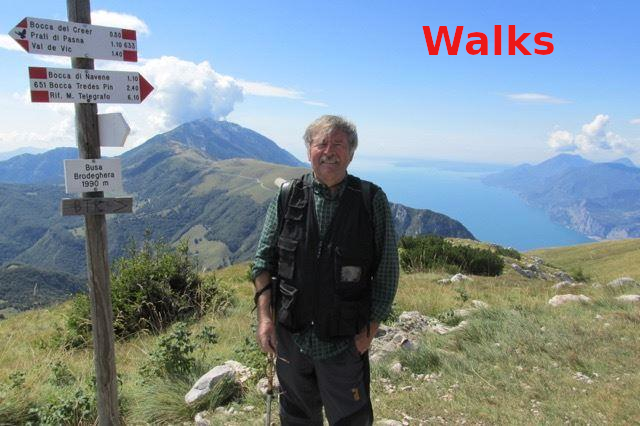
Fellow walkers, if possible, I would like to receive your suggestions and advice in order to improve the site.
Here is my e-mail address
info@walks.it