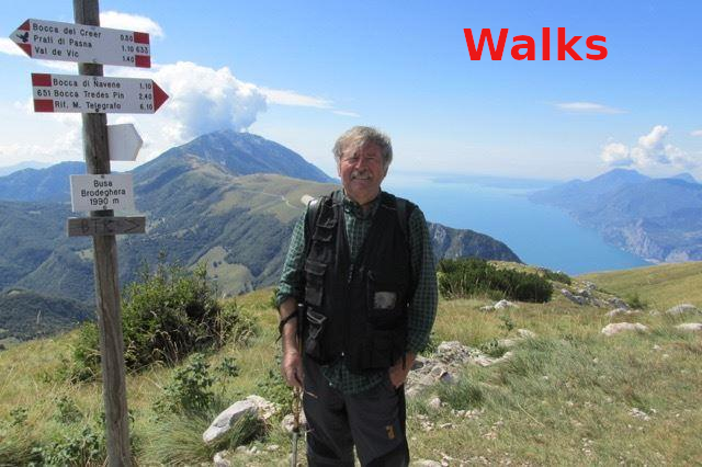
Contrada Tommasi, Grola
A simple walk to discover the characteristic contrada of Lessinia
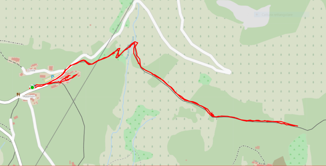
Point of departure and arrival : Contrada Tommasi GPS 45.66179892524493, 10.942546184465908
difference in height uphill 150 mt
km 3,3
duration 1/2 hours with stops
Easy
Cartography Map of Lessinia
Brief description of the route
Departure from Contrada Tommasi fraction of Fosse car parking.
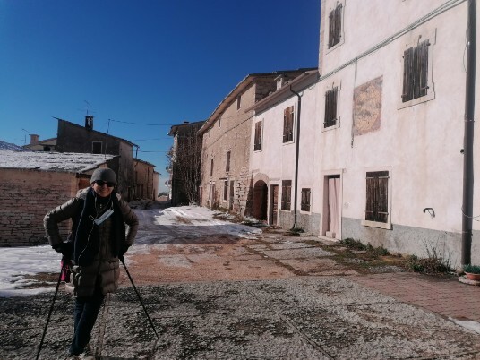
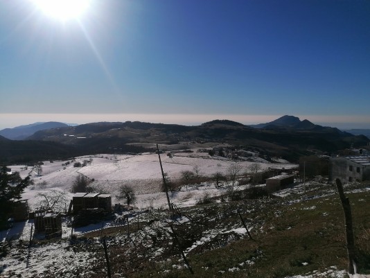
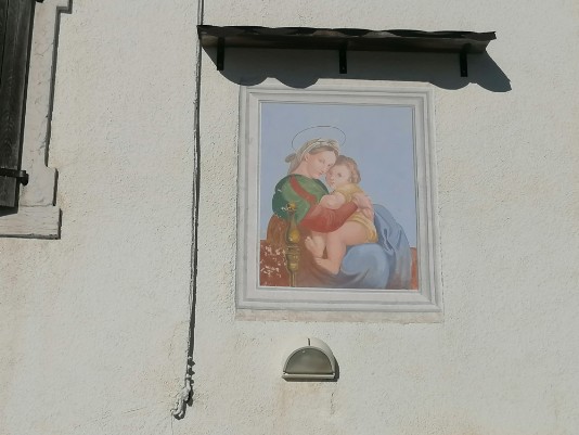
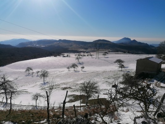
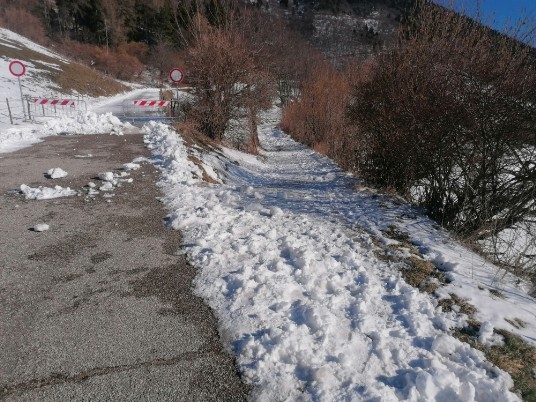
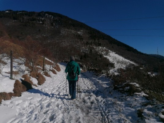
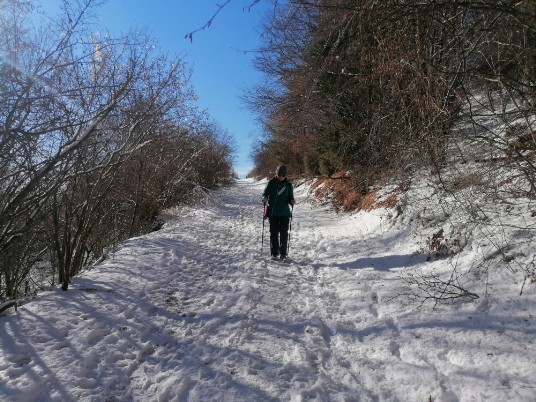
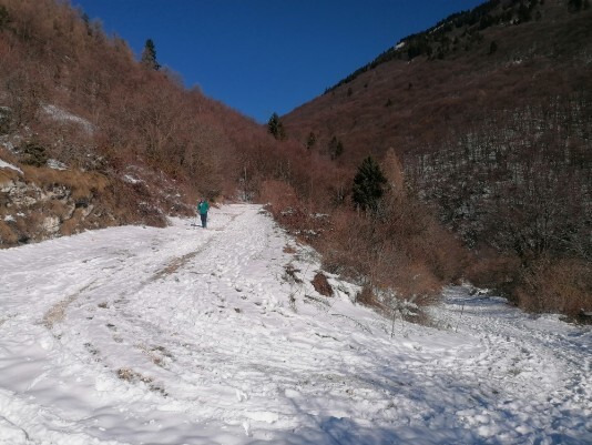
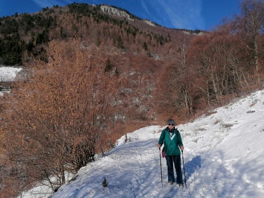
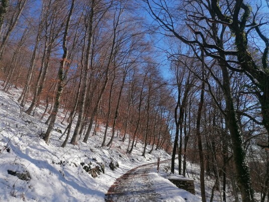
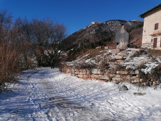
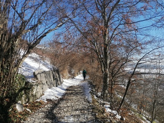
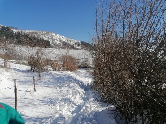
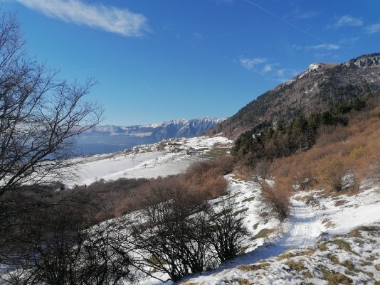
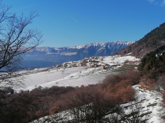
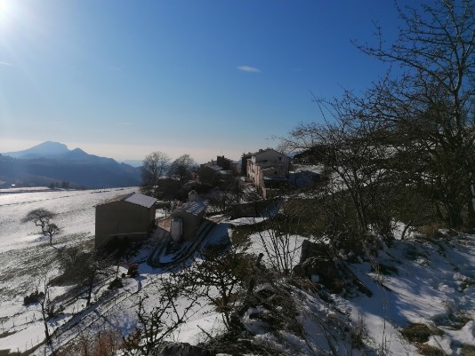
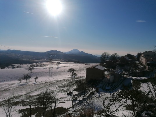
a short tour of the district to appreciate its characteristic architecture and then from the provincial road towards Corno d'aquilio we take a path (dirt road) on the right that runs first at high altitude and then in a small descent to immediately go up that will take us to Grola (above Vallene) and retrace the same itinerary for the return to Tommasi.
Fellow walkers, if possible, I would like to receive your suggestions and advice in order to improve the site.
Here is my e-mail address
info@walks.it
